Professional Services
Site Contextual Services
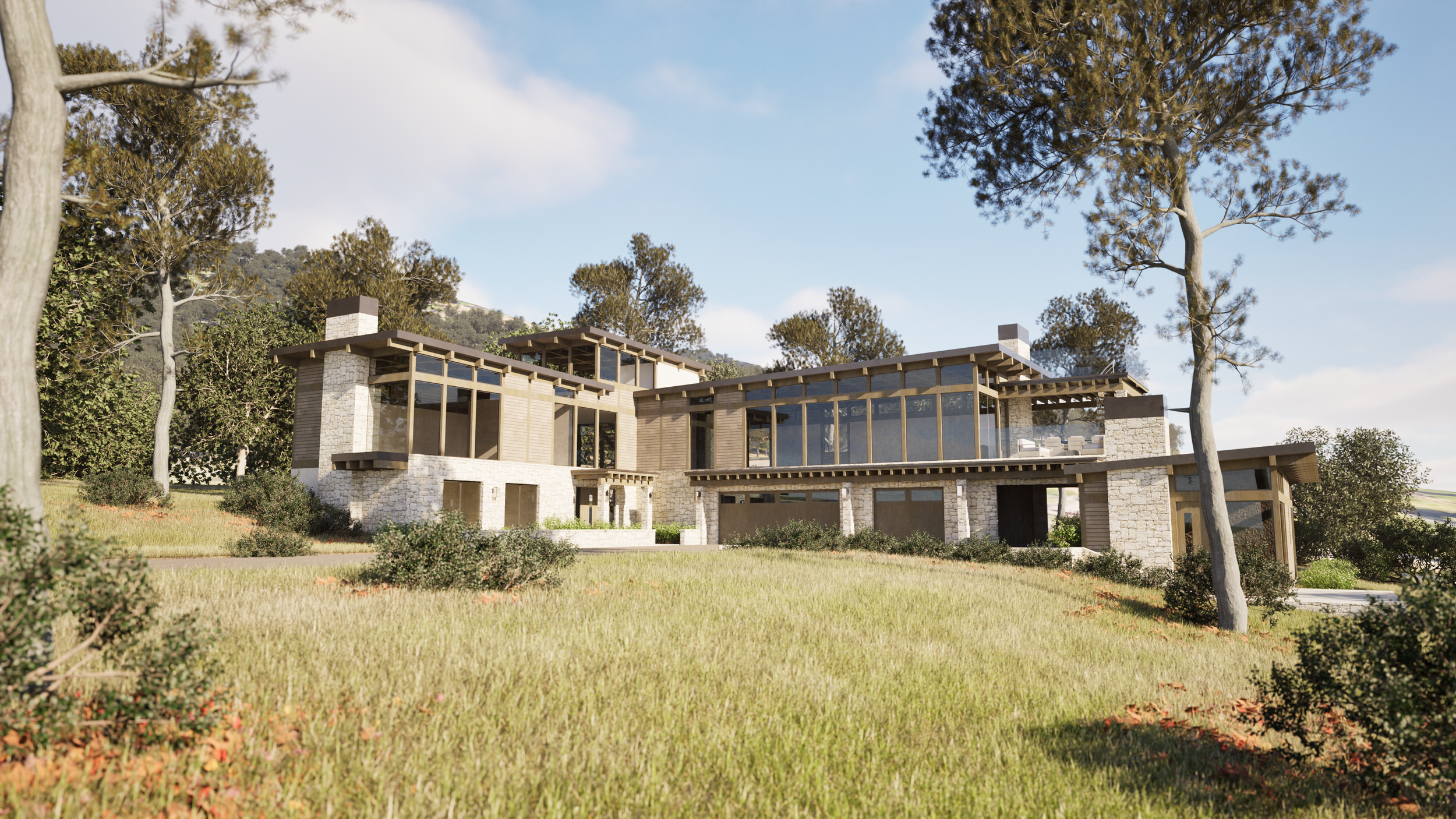
Turning Reality into Virtual Reality
Great design originates from a deep, accurate appreciation of site-specific context. I capture the physical reality and translates it into immersive virtual reality, ensuring your architectural vision is truly rooted in its place from the start.
Location Specific. At Scale.
Integrating geospatial satellite positioning information any location on the planet can be represented digitally in your preferred modeling and rendering software. Depending on the specifications of accuracy needed, mapping technologies such as Lidar, photogrammetry or other techniques can achieve dimensional level accuracies needed to document and communicate your designs.


Data Driven Large Scale Context.
Define your scope, determined by each projects needs. GPS elevation data, satellite imagery mapping, open sourced 3D building data.
Software Independent
Site context modeling can be exported in a variety of formats to best work with the modeling and rendering software that many architectural offices use; including triangulated mesh model, point source clouds, topographic linework and more.


Integrates with these and many more architectural 3D modeling and rendering software programs…
Need Even More Detail?
Photogrammetry and Point Cloud Data Sets from Lidar and other scanning technologies can champion even the toughest of project site documentation. Using drones, photography and video captures, dimensional modeling of real world objects, buildings and sites can be made.